- Projects
- Markets
- Services
- About Us
- Careers
- Contact Us
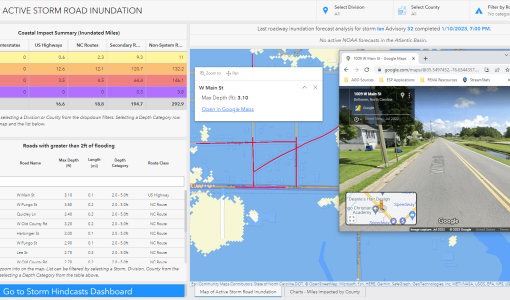
In 2019, the NC Department of Transportation and NC Emergency Management partnered with ESP to develop the Flood Inundation Mapping and Alert Network for Transportation (FIMAN-T), a web-based tool that supports disaster response and planning during flood events by providing visualization and metrics for real-time and forecasted flood inundation depths along roads, bridges, and other NCDOT assets. Over the course of two contracts, ESP has expanded the system from a pilot to approximately 100 sites monitoring thousands of miles of roadway.
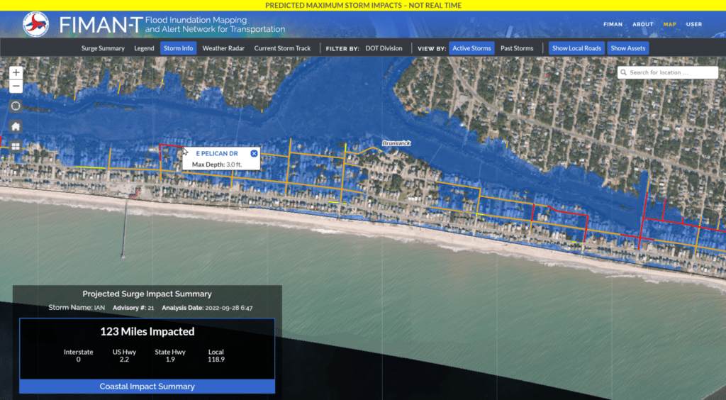
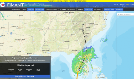
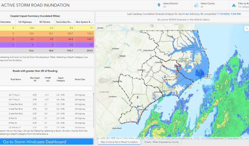
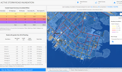
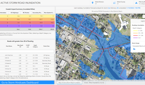
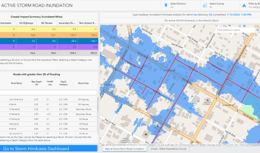
As part of the FIMAN-T system, the Transportation Surge Analysis Prediction Program (T-SAPP) also helps transportation officials and emergency managers plan for potential roadway flooding and equipment stationing needed for disaster response during forecasted hurricane and tropical storm surges. Rather than relying on gauge-based data like the rest of the FIMAN-T system, the T-SAPP dashboard uses data from RENCI (Renaissance Computing Institute at The University of North Carolina), which models storm surge for the entire NC coastline based on National Hurricane Center official advisories.
NC Department of Transportation
Statewide
Ongoing Contract
Improving what people depend on isn’t just our mission—it’s who we are.
Corporate Headquarters