UAS Services
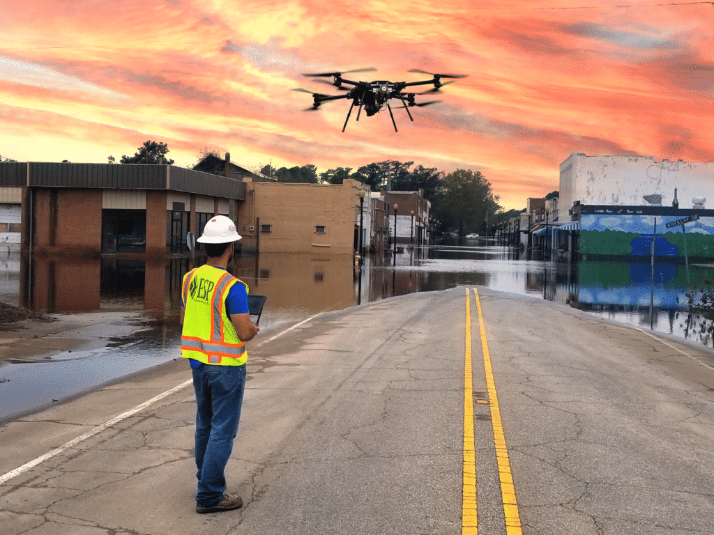
Utilizing unmanned aircraft systems (UAS), ESP delivers superior products through a full data collection and processing workflow that mimics manned flight operations. Our UAS team provides efficient and cost-effective solutions for small to mid-sized projects and a rapid-response option for emergency management tasking.
These service capabilities fill the gap between expensive manned aircraft used for large-area projects and time-consuming conventional survey used for small-area projects. From project design to post-processing and mapping, our UAS workflow follows ASPRS best practices, ensuring our products meet or exceed current ASPRS positional accuracy standards.
Our FAA Part 107 pilots are licensed, insured, and certified to operate UAS equipment, and our flagship Pegasus hybrid platform is engineered with redundant subsystems to reduce the risk of system failure. Our experienced UAS pilots create value and efficiency by employing the most effective tools for each project.
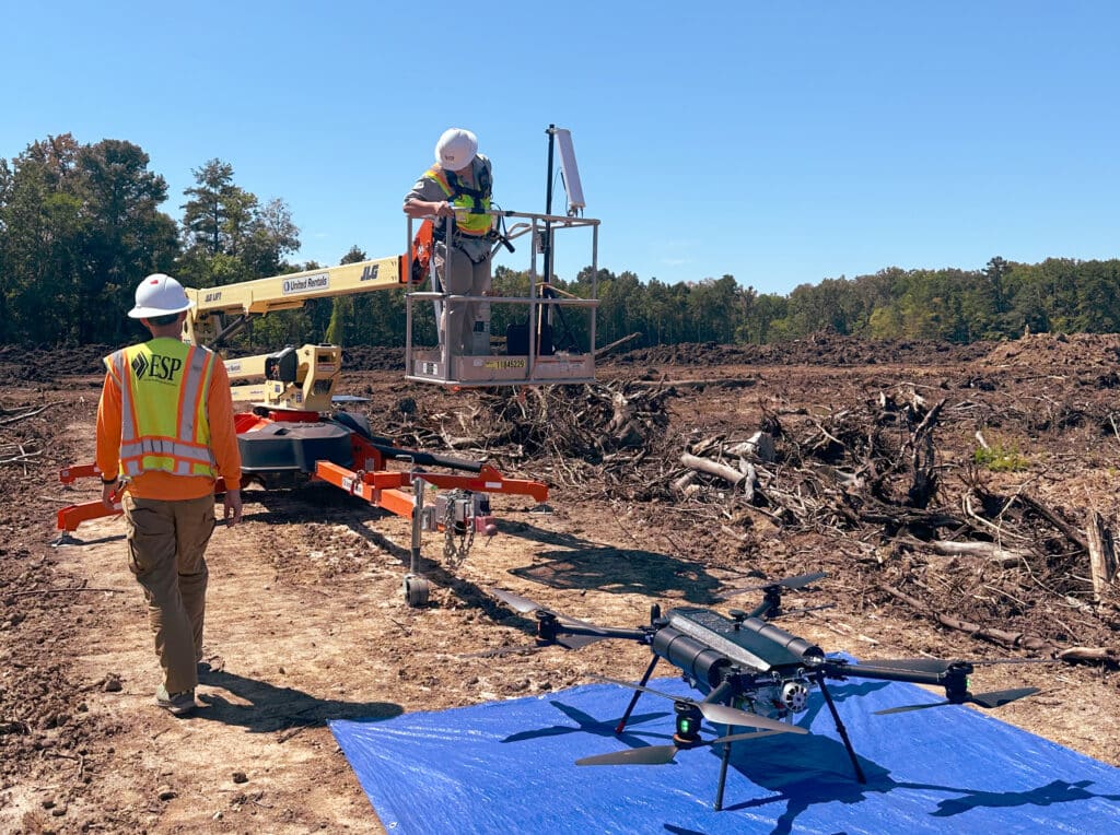
For large sites and challenging terrain, we incorporate manlifts into our UAS operations to maintain FAA-required line of sight across long distances and over hills, bodies of water, or heavy vegetation. In conjunction with our Pegasus hybrid platform, this practice saves time and minimizes the safety risks associated with scouting and setup/breakdown at multiple locations.
UAS Services Applications
- Infrastructure damage assessments
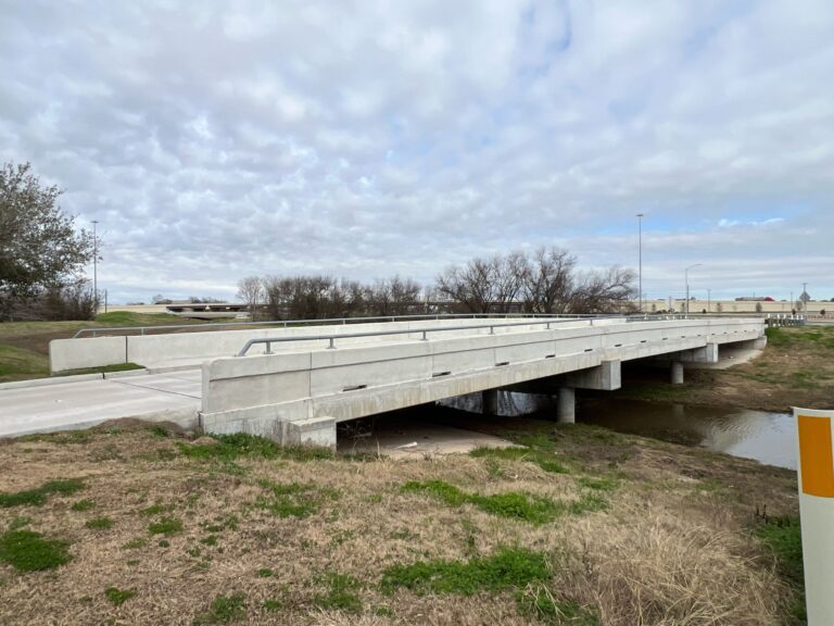
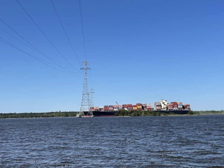
- Inspections (power, bridge/structure)
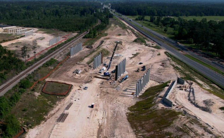
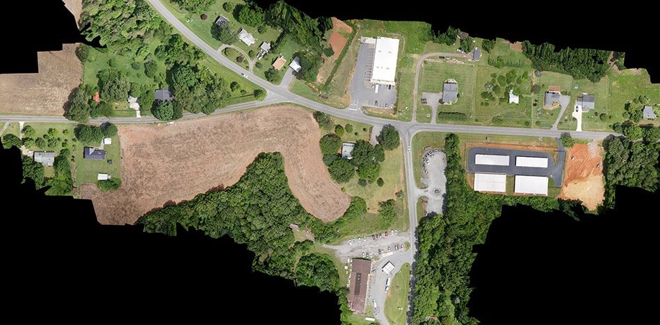
- Digital mapping (DTM, PLAN, contours, orthos)
- High-density lidar
- High-resolution imagery
- Rapid-response assessments
Military-Grade UAS Capabilities
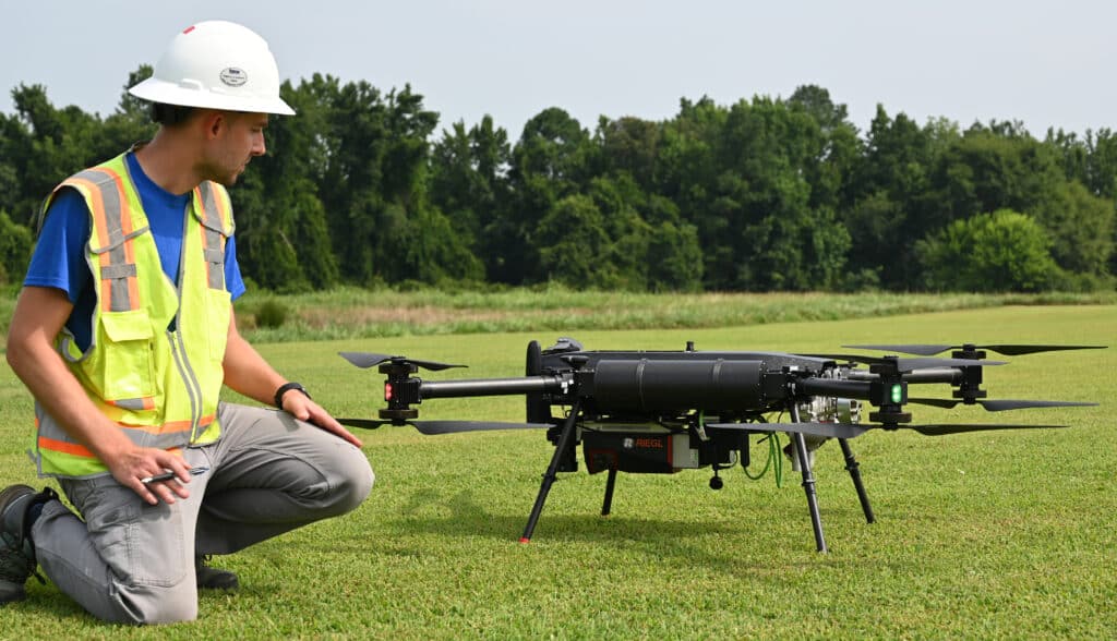
ESP is one of the first private sector companies to adopt the Pegasus Aeronautics G15 Sentinel – a rugged, reliable, and adaptable UAS platform developed for the Canadian military to withstand a wide variety of operational environments. Intelligently designed with safety and redundancy in mind, this system significantly reduces the risk of catastrophic failure while providing greater endurance, flexibility, and capacity.
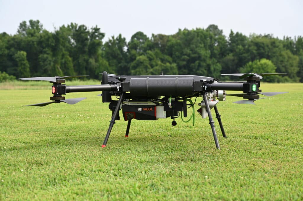
Benefits of the Pegasus Aeronautics G15 Sentinel:
- Fully designed and manufactured in North America to meet federal requirements
- Flight times up to 3 hours with full lidar and image sensor package
- Up to 2,500 acres of data collection per day under ideal scenarios
- Surplus lift capacity and redundant on-board power, signal circuitry, and electronic speed controllers to reduce failure risk
- Sony ILX-LR1 nadir camera with 21mm lens for a 1-inch orthophoto product
- Riegl VUX-120-23 with Applanix Inertial Measurement Unit, VUX 120 lidar sensor, and laser pulse rates ranging from 150kHz to 2400kHz
- Capable of collecting 2 million points per second, average collection of 344 points per square meter, and 1cm accuracy at 150m with 5mm precision

