- Projects
- Markets
- Services
- About Us
- Careers
- Contact Us
ESP’s geospatial department has a highly-efficient production and independent QA/QC workflow using a combination of standard and proprietary software. Working with strategic acquisition partners, ESP has collected and processed geospatial data for numerous projects involving both aerial lidar and photogrammetric data deliverables.

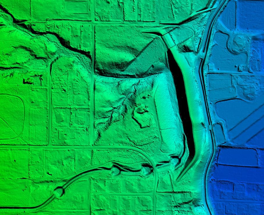
ESP’s in-house processing capabilities include lidar calibration and processing, image processing, independent quality control, and the development of derivative products such as contours, hydro-flattened DEMs, and terrain models.