- Projects
- Markets
- Services
- About Us
- Careers
- Contact Us
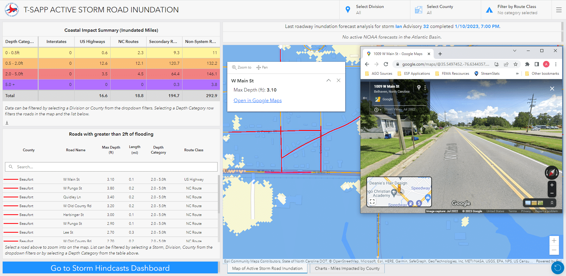
As part of the NCDOT FIMAN-T system, the Transportation Surge Analysis Prediction Program (T-SAPP) helps transportation officials and emergency managers plan for potential roadway flooding and equipment stationing needed for disaster response during forecasted hurricane and tropical storm surges. Rather than relying on gage-based data like the rest of the FIMAN-T system, the T-SAPP dashboard uses data from RENCI (Renaissance Computing Institute at The University of North Carolina), which models storm surge for the entire NC coastline based on National Hurricane Center official advisories.
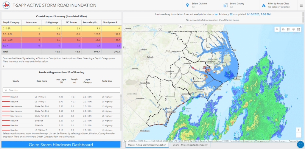
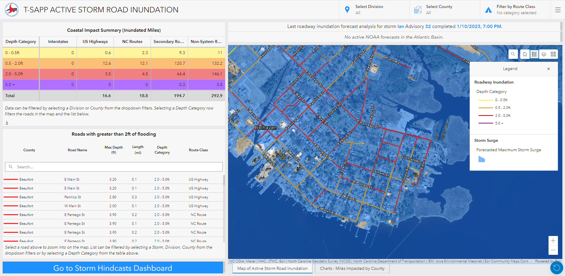
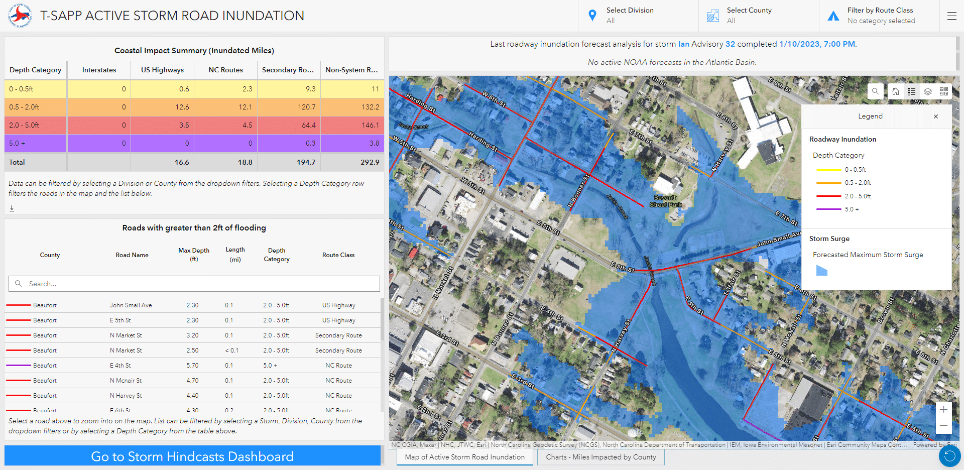
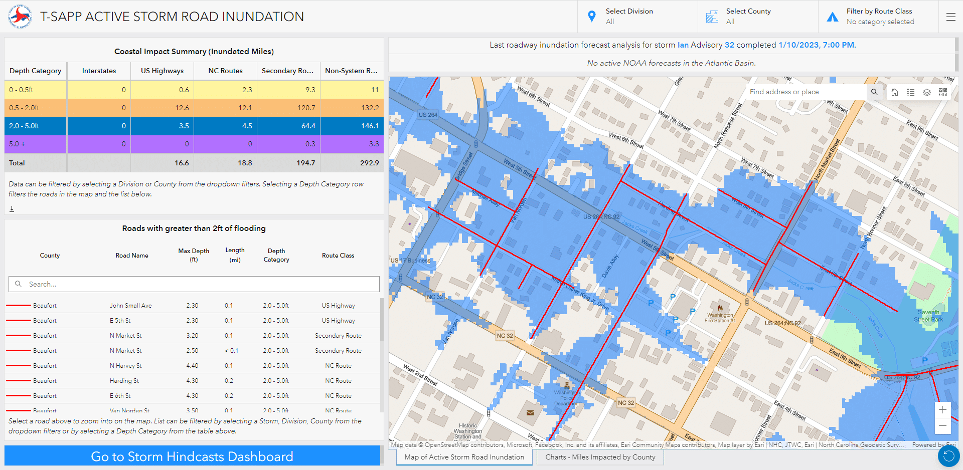
ESP’s tools obtain the RENCI’s model results in the form of point data to develop statewide coastal inundation mapping and roadway inundation. These tools publish the data to the T-SAPP web application within one hour of model results becoming available. The application uses forecasted maximum water surface elevation for the duration of the event, providing a worst-case scenario based on available model results. During flood events, ESP provides dashboard-style reporting that summarizes road impacts by geographic area, road type, and inundation depth.
NC Department of Transportation
Statewide
2019-ongoing