- Projects
- Markets
- Services
- About Us
- Careers
- Contact Us
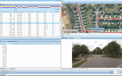
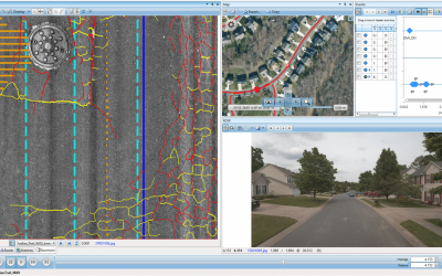
When the Town of Indian Trail requested a segmented pavement condition analysis using visual inspection methods, ESP proposed the use of our IrisPRO Pave multi-sensor van and Trimble MX9 mobile mapping system to provide pavement and asset data collection within a single mobilization.
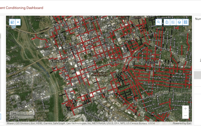
Data from 90 miles of town-maintained roadways was summarized in a Pavement Condition Index (PCI) report and delivered on a digital GIS dashboard, allowing the Town to visualize pavement distresses as well as curb, gutter, sidewalk, and signage conditions and locations during City Council presentations.

The GIS dashboard also enables multi-user access for greater efficiency and collaboration within the Town’s planning and maintenance program. Providing more robust services within the original budget then allowed the Town of Indian Trail to hire ESP for additional collection, data extraction, and GIS dashboard enhancements.


Town of Indian Trail, NC
Indian Trail, NC
90 miles
Completed in 2022