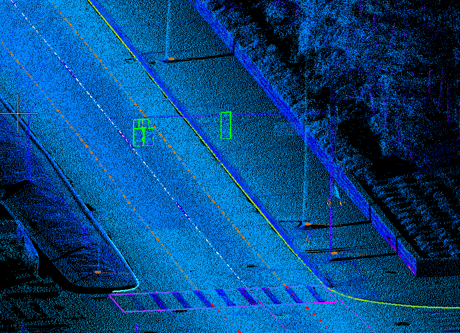
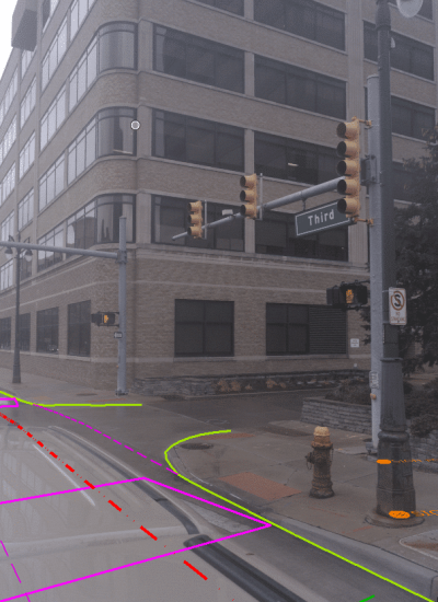
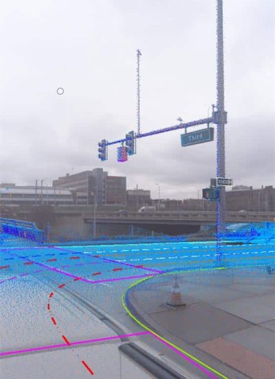
ESP completed a large-scale, high-definition (HD) mapping and aerial map verification project for Hexagon to provide a digital twin that was used to train autonomous vehicle artificial intelligence and quantify the absolute accuracy of the aerial mapping from the Hexagon Content Program. ESP deployed to project sites in Michigan, California, and Texas to collect approximately 225 miles of mobile lidar data using our Leica Pegasus Ultimate: Two, processed the colorized point clouds with the Pegasus Manager software, extracted visible assets with TopoDOT and ESP Analyst, created metadata with ArcGIS Desktop, and reviewed the deliverables in QGIS.
With a short lead time and constrained by imminent winter weather, ESP was able to mobilize with a week of Notice to Proceed and collect all the project locations within a two-week time frame. The roadway definition was extracted and projected from the point cloud to create continuous, uninterrupted lanes, including edges of pavement, pavement striping, and inferred lines. All barriers, separate curb and gutter types, signs, and signals were extracted and delivered with exceptional quality for long-term, multi-faceted uses for the end-client.