- Projects
- Markets
- Services
- About Us
- Careers
- Contact Us
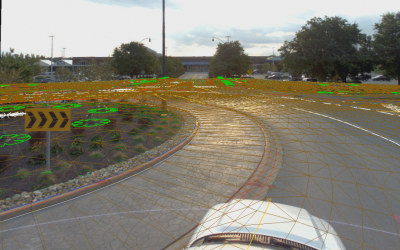
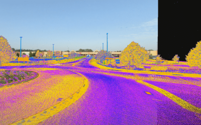
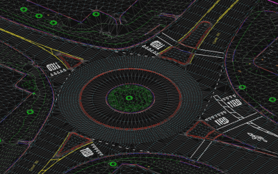
In 2020, INDOT, Hamilton County, City of Noblesville, and City of Fishers began the State Road 37 Improvement Project to alleviate traffic congestion on feeder roads, increase pedestrian and bicycle safety, expedite commute times, and attract new businesses along a corridor from 126th Street to 146th Street that serves over 50,000 vehicles per day. To support the corridor engineering redesign study for this project, ESP used our Riegl VMX-1HA mobile lidar and imaging system to provide mobile and aerial lidar and images for 39.8 miles of roadway and parking lots.


Focusing on a study area from Greenfield Avenue to SR-32 through Noblesville, our team delivered full extraction of 3D line planimetric features as well as lidar, images, and mapping of high-resolution DTM. With these products, the project design team was able to complete an analysis of existing conditions and provide recommendations to the City of Noblesville for future improvements within the project area. Resulting improvements will convert this four-lane divided highway with signalized intersections to a separate-grade parkway with roundabout interchanges at local cross streets and sidewalks/crosswalks for pedestrians and cyclists.
United Consulting
Hamilton County, IN
39.8 miles
Completed in 2020