- Projects
- Markets
- Services
- About Us
- Careers
- Contact Us
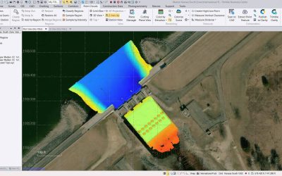
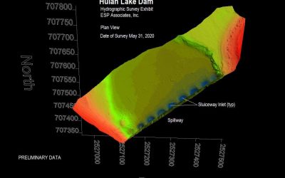
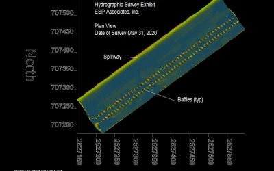
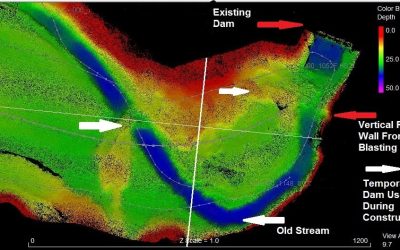
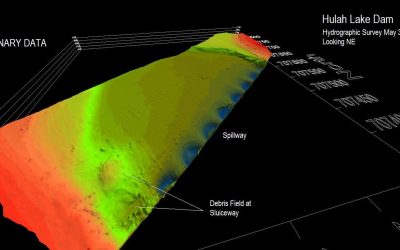
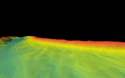
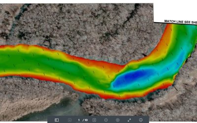
The ESP team captured information on dam structures and full-bottom bathymetry for Lake Meadow, Lake Gonzales, Lake Dunlap, Lake McQueeny, and Lake Placid hydroelectric impoundments along the Guadalupe River. Our team performed hydrographic and bathymetric surveying to create a 100% full-bottom coverage DTM used to cut cross sections and accurately calculate storage volumes. Cross sections were used by the Guadalupe-Blanco River Authority (GBRA) for hydraulic modeling and storage area determinations for dam breach and channel scour analysis.
We approached the survey using a hybrid data collection approach. The primary system was a 25-foot Scully all-aluminum survey vessel equipped with an Edgetech 6205 interferometric dual frequency multi-phase echo sounder with superior multipath and surface reflection suppression, dual-frequency GPS receivers, Applanix IMU capable of achieving an accurate position and orientation solution, and onboard rack-mounted PC and storage array operating the required software.
The secondary system was a small aluminum boat equipped with a Hydrolite 200 khz sonar echo sounder and a Trimble R8 dual frequency receiver with data collector. The secondary system was used for areas where navigation by primary system was not possible (<4ft and overbank areas).
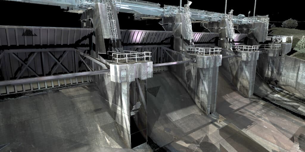
Our team also performed laser scanning using a Leica P40 scan station to capture the dam structure elements. The scans were field registered using Cylone Register software. The structure was modeled in 3D using Cyclone Model and merged with the master drawing file. Deliverables were guided by the latest FEMA guidance document, Guidance for Flood Risk Analysis and Mapping Data Capture – Workflow Details. We also prepared a TSDN Report for the project.
Guadalupe-Blanco River Authority
Seguin, TX
5 hydroelectric reservoirs, 20+ survey miles
Completed