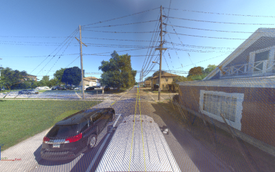
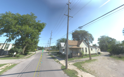
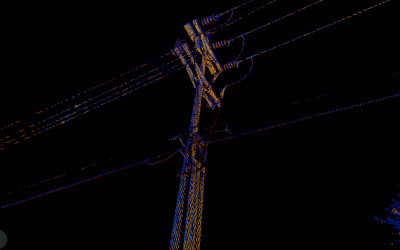
In the Spring of 2015, broadband fiber was expanding in cities across the US. To develop make-ready engineering plans for fiber installs, there was a need to locate thousands of existing utility poles and measure features attached to the poles. When the client design team’s use of traditional survey means began causing project delays, ESP was contracted to provide 240 miles of mobile lidar acquisition and to implement a streamlined workflow that would allow team members to make required measurements in Trimble Trident Analyst software that could then populate an O-CALC software database.
Our mobile lidar and GIS teams collaborated to decode the database and create a stand-alone, user-friendly software application that converts data from one format to the other in a matter of seconds. This innovative workflow and use of mobile lidar technology increased the acquisition team’s output tenfold, saving the project valuable time and money.