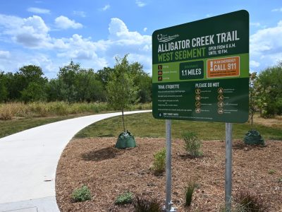
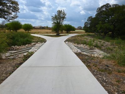
ESP’s San Antonio office (formerly Vickrey & Associates, LLC) served as the lead consultant for preliminary design to determine future trail alignment and park space for a new public trail along Alligator Creek in New Braunfels, TX. The Alligator Creek trail was divided into West (2.6 miles total) and East (4.05 miles total) segments, with IH‐35 serving as the dividing line. Factors in the layout and design of the trail included a future disc golf course location as well as future and current work along Goodwin Lane and IH-35. In August 2025, a 1.1-mile section of the West segment opened to the public.
Building from the planning efforts of the 2017 Parks Strategic Master Plan, Envision New Braunfels, and 2020 Hike & Bike Trail Master Plan Update, our team conducted site analyses, drafted a preliminary trail layout, and took part in steering committee and public input meetings. Steering committee and community input was used to determine potential locations of trailheads, neighborhood access, and landscape buffers.
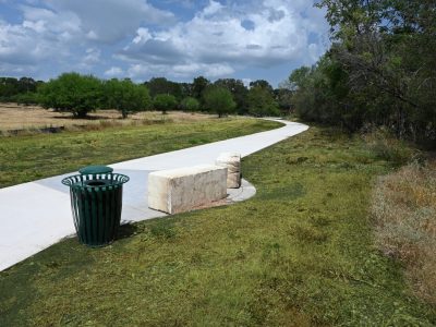
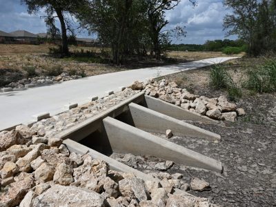
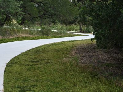
For this project, our team conducted site inventory and analysis, including current land use and ownership, slope, floodplain, and tree cover analysis. This information was used to determine the best preliminary layout for the trail. Trail segments include new off‐street trails, nature trails, widening of existing sidewalks to serve as on‐street trails, and new on‐street sidewalk. The final deliverable included design development-level trail layout, details, and signage.