- Projects
- Markets
- Services
- About Us
- Careers
- Contact Us
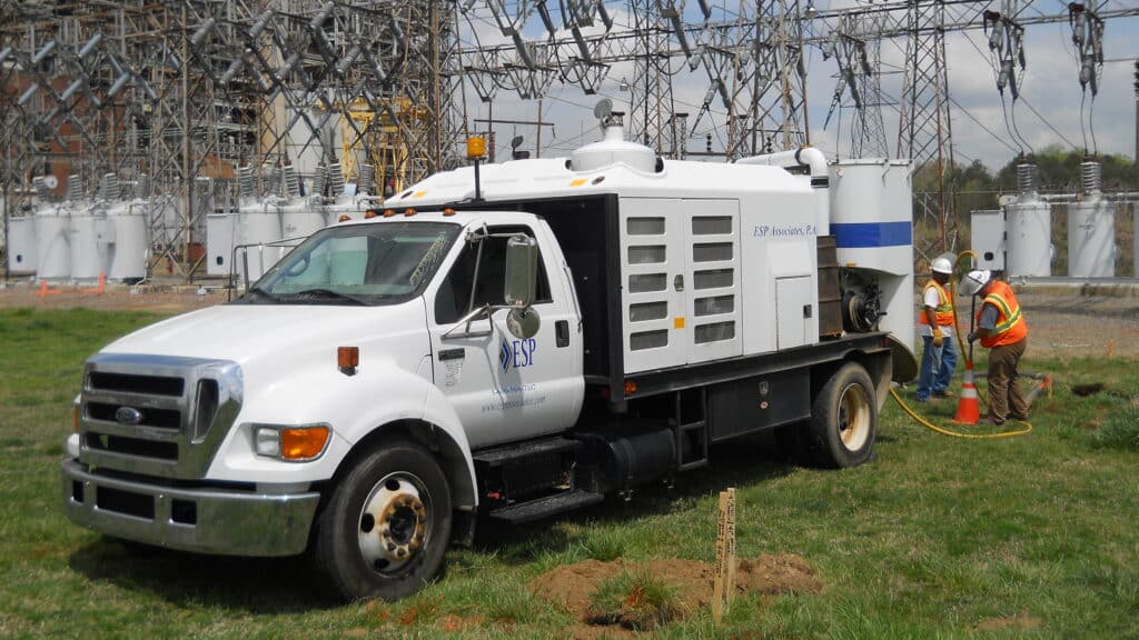
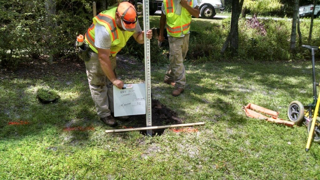
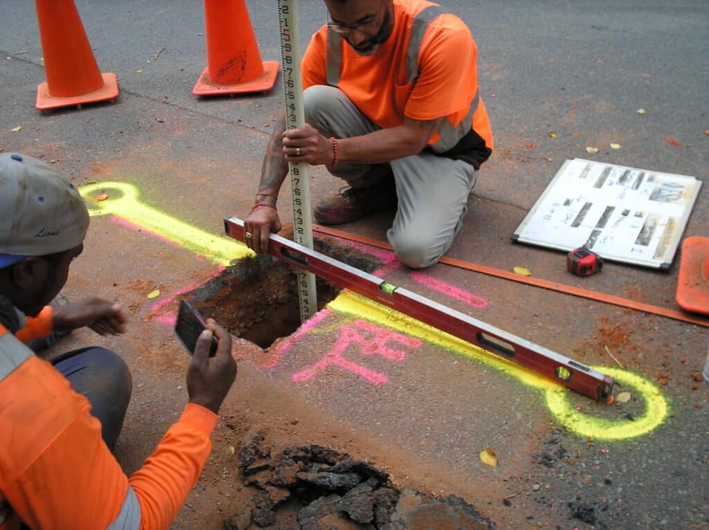
ESP’s subsurface utility engineering (SUE) & 3D GPR division applies the latest technology and methods to accurately map underground utilities for design and construction projects. In addition to investment in non-destructive vacuum excavation equipment and geophysical/remote-sensing devices like ground-penetrating radar, ESP employs professional surveyors and engineers with more than 200 combined years of experience performing SUE & 3D GPR services.
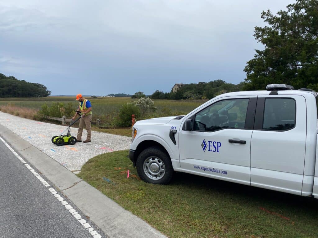
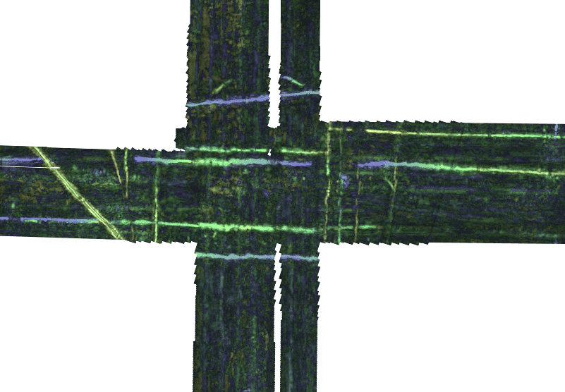
Our high-tech equipment and qualified professional staff allow ESP to provide clients with accurate and efficient subsurface utility mapping in accordance with ASCE Standard 38-22. With the ability to integrate data with survey and other SUE mapping deliverables, ESP delivers 3D data to mitigate utility conflicts and keep projects on schedule.
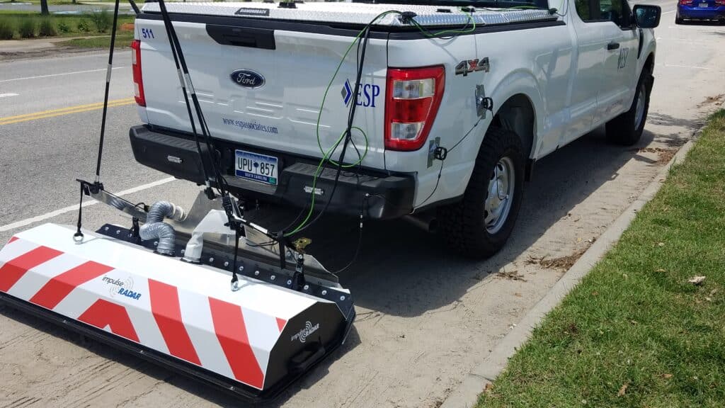
ESP employs a high-speed Raptor® ground penetrating radar (GPR) array, the first real-time sampling (RTS) system capable of collecting 3D GPR images at posted speed limits. Through its speed of data acquisition, this tool increases production capability on large-scale urban utility mapping projects while also improving safety margins for site personnel.
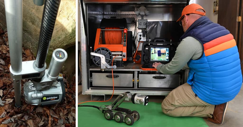
From residential storm lines to large-scale drainage infrastructure, our NASSCO-certified staff use Envirosight® pole cameras and Minicam Proteus® crawlers to locate, inventory, and assess conditions within otherwise inaccessible water and stormwater pipes. These systems provide detailed reports, including video, images, and measurements.
